Main Page
SIGNING IN
SIGN IN / SIGN UP
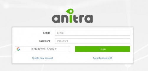
- Login / Sign up screen of ANITRA platform available at https://anitra.cz/app
- Once registered you can log in with your username and password or by using "Sign in with Google" functionality
- You can also reset your password by "forget password ?" link if needed
SIGN UP
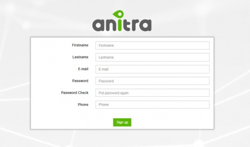
- Use "Create new account" link to auto-register yourself as a new platform user
- use a valid email address as your future username
- upon completion, an email with account confirmation link be sent to your inbox
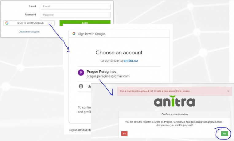
- note that you can also create a new account by using "SIGN IN WITH GOOGLE" button.
- this flow will link a newly created account with a chosen google account (you will not need to type user name+pass)
USER PROFILE
- Change of user password through user profile page
- Manage linked Google Account(s)
- "Sign in with Google" functionality available (once linked to a google account, you do not need to type user name+pass)
AREAS OF FUNCTIONALITY
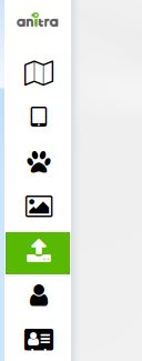
(also indicated by menu icons on the left side):
- Map view
- Device list
- Device profiles
- Tracked Object list
- Tracked Object profiles
- Photo Gallery
- Import Data
- Customers
- above functionality available for users acting as Data Owners or Admins
- a minor subset of the functionality available to those who only receive data through Sharing scheme
- each user can act in both modes at the same time
- as data Owner for some data(=devices) … the full functionality available including admin functionality per owned devices
- as a passive user of data shared by someone else … only predefined data view is available
MAP
- a tool to analyze multiple Individuals in a single map
- the functionality displays all the Tracked Individuals available to user (both owned/administered and shared only)
- by default an overview of the last positions is shown - the color of the point categorizes data by the last data update.
- filtering functionality below the map limits data in the map and in the right Tracked Object selection list by following criteria:
- "Search" (full text search accross Device/TO codes/names/aliases)
- Species
- Last "X" Days (limits all the data showing specified last X days interval)
- Other: Tracking Status, Country of Tagging, Current Age
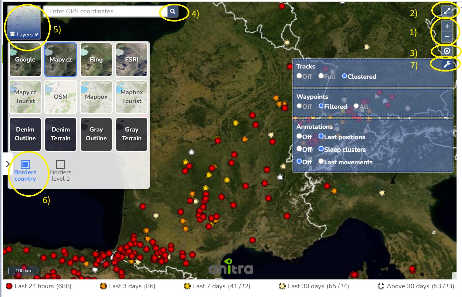
- Map functionality
1) Map zoom 2) Full screen mode 3) Overview map
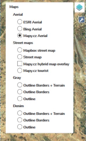
4) Map layers - a wide range of available maps
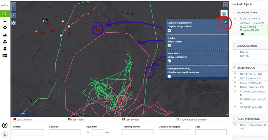
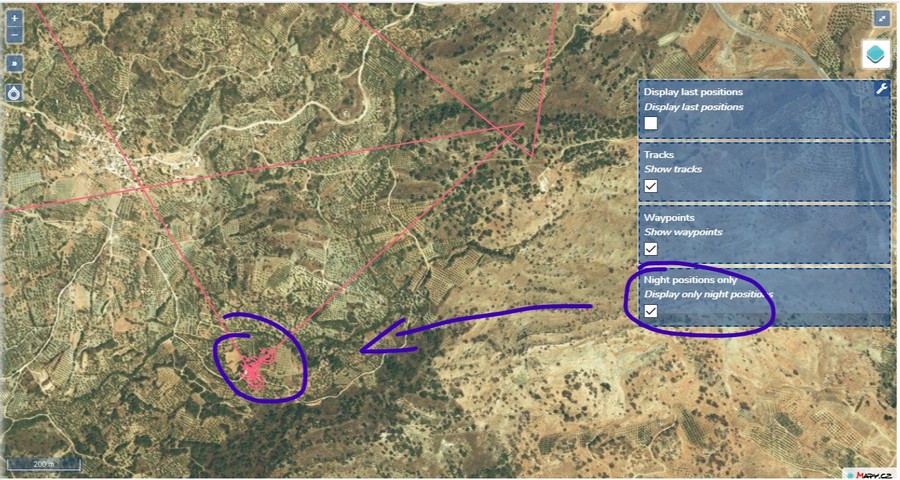
5) Show current user position 6) Map options
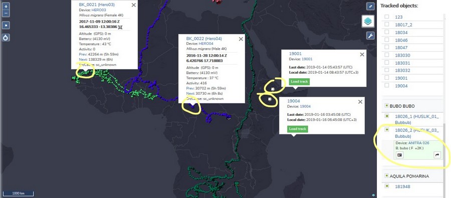
- Last positions
- Tracks
- Waypoints
- Night Points
- TO details
- Track point details in the tooltip (note that more track point tooltips can be displayed simultaneously)
- additional TO detail in the right TO selection list (including "Share" button for admins)
- click through link to particular Tracked Object profile
- TO Mortality Indicated by black/red symbols in TO right side selection and in the tooltips
DEVICE LIST
DEVICE PROFILE
DEVICE CONFIGURATION
TRACKED OBJECT LIST
TRACKED OBJECT PROFILE
PHOTO GALLERY
IMPORT DATA
CUSTOMERS AND INTEGRATION
